How does Peterborough Local Plan affect residents?

 Peterborough City Council
At more than 200 pages, Peterborough's Local Plan is roughly the size of a small novel.
It may not be on everybody's summer reading list, but the document is a blueprint for the future - setting out where thousands of homes could be built and jobs could be developed in the city.
As it enters its final stages, we ask what it means for residents and take a look at the plans for the future.
What is a Local Plan?
A Local Plan sets out the vision for the future development of an area over a set number of years - in Peterborough's case, until 2043.
Planners use them as a guide to decide what gets built and where, and which areas are protected. Every local planning authority in England has one.
Why is one being made in Peterborough?
The current Local Plan was finalised in 2019 and goes up to 2036, but the council says it needs updating.
Peterborough has a housing target of more than 20,000 new homes over the next two decades, making new settlements necessary.
The city is now also home to Anglia Ruskin University (ARU) Peterborough, which opened three years after the current plan was published, and wants to expand.
Where are the key developments?
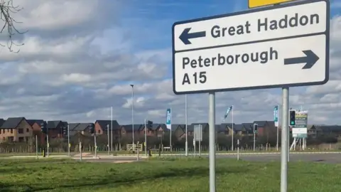
Many different developments are mentioned in the new plan including one for 5,000 new homes in Great Haddon, which also features in the current plan.
New additions include 43 Gypsy and traveller pitches for sites at Thornberry Lodge near Thorney and Royce Road.
 Ben Schofield/BBC
There are also a number of sites earmarked for new jobs, such as 115.5 hectares (285 acres) of land north of the old River Nene in Stanground, Peterborough.
The plan also mentions capacity for 1,500 homes on the East of England showground, where developers have so far been unable to get approval for the whole site.
When will the plan be finalised?
The aim is to submit the document to the government by the end of the year.
Significant changes have already been made over the past three years, based on people's views and concerns.
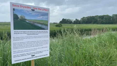
A proposal for 3,000 homes on open countryside near Castor and Ailsworth, included in a previous draft, has now been removed, as well as plans to build on land used as a community garden known as the Green Backyard.
The council will vote on this final draft on Tuesday.
If approved, there will be a public consultation between 2 September and 13 October, before being submitted to the government by the end of the year.
This consultation will be different from previous ones as the responses will be considered by an independent planning inspector, rather than by the council.
Do you have a story suggestion for Peterborough? Contact us below.
Follow Peterborough news on BBC Sounds, Facebook, Instagram and X.