Satellite photos show scale of damage in La Guairapublished at 10:43 BST 26 June
By Emma Pengelly
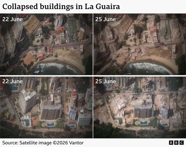
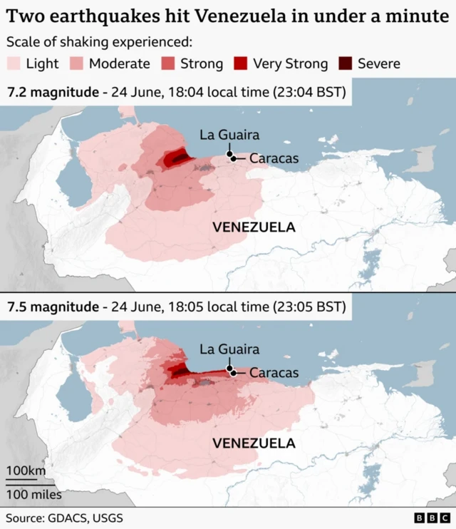
New satellite photos reveal the extent of the damage to La Guaira, more than 100 miles (160km) from the epicentres of the devastating double earthquakes.
The images were captured by the US spatial intelligence firm Vantor and show some of the worst-hit parts of the port city just north of Venezuela’s capital Caracas.
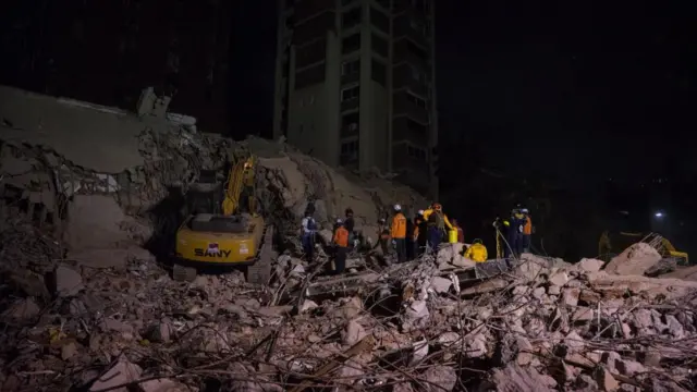
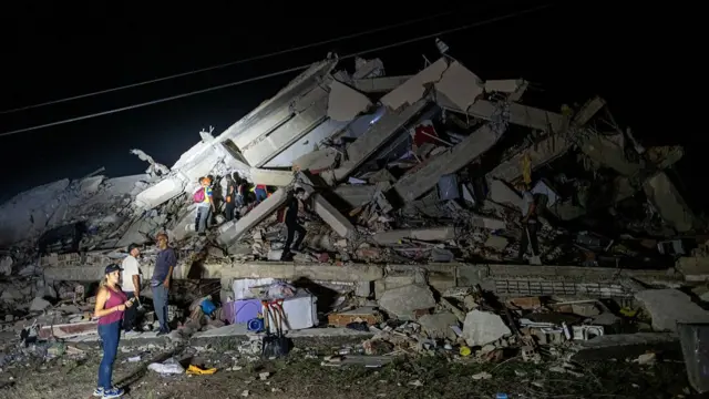
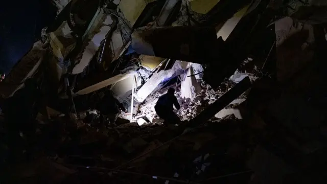
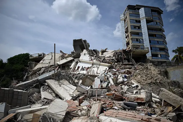
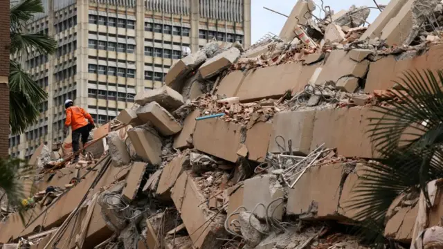
One photo shows a cluster of six buildings flattened, most of them were high-rise apartment complexes with outdoor pools. Some of the surrounding roads have become blocked with debris and collapsed buildings.
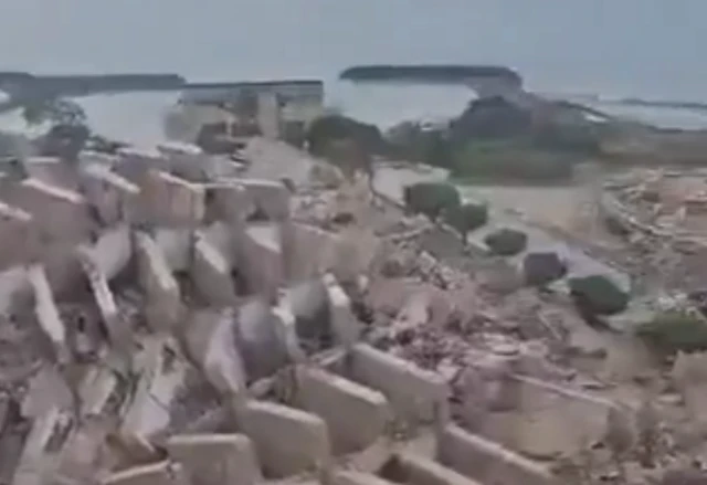
Another image also shows how multi-storey blocks which once overlooked the Caribbean Sea have been reduced to rubble.