Chilly and mostly cloudy for Bonfire Night but most places will remain dry

- Published
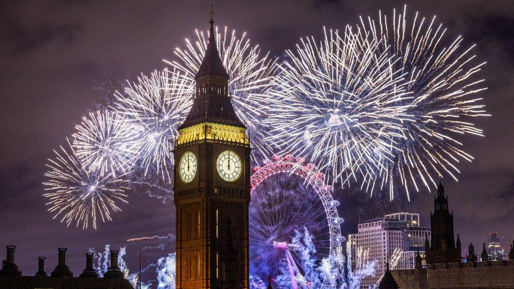
Most parts of the UK will stay largely dry but rather cloudy as bonfires and firework displays take place to mark Guy Fawkes night.
High pressure remains in charge meaning any significant rain-bearing weather systems will be kept at bay - although a few patches of drizzle are possible. It will remain fairly breezy but less windy than it has been over recent days in southern areas.
Temperatures will dip into single digits for the majority, although in most places it will be too cloudy for a frost. Mist and fog could form over some hills and potentially at lower levels if cloud breaks, with smoke from bonfires and fireworks adding to a murky picture in places.
The chance of fog increases into the weekend for any residual bonfire night celebrations - as well as the Hindu Festival of Diwali on 8 November - but while a few showers are possible many places are likely to remain dry.
Drizzle for a few but dry for most
High pressure has dominated throughout the week but large amounts of cloud have lingered, producing a few showers.
Some of these will continue into the evening, especially in south-west England, northern England, Northern Ireland and eastern Scotland, with a few spots of drizzle possible elsewhere.
However, many places will be dry for most of the evening meaning soggy kindling will not be much of a cause for concern.

Lewes in East Sussex holds one of the biggest Bonfire Night celebrations in the UK
A chilly night for fireworks and bonfires
There will be nothing extreme about the Bonfire Night temperatures - which will be around the seasonal average - although it will be worth wrapping up warmly if you are out watching fireworks.
After a rather chilly day, evening temperatures are forecast to drop into single figures for many.
It will certainly be a lot colder than last year.
On 5 November 2025, some areas across the southern half of the UK did not fall below 14C, making it the warmest Bonfire Night on record for a number of weather stations including Southampton, Teddington, Portland, Bude and Anglesey.
A touch of frost will be possible in sheltered areas in the northern half of the UK where skies remain clear - although most places are likely to avoid this.
Some fog patches could also form later in the night, especially in sheltered northern and western parts.

These will be the temperatures in towns and cities but rural areas could be colder.
Weather to cooperate into the weekend
With many firework displays on Friday and Saturday and the Hindu festival of light on Sunday, many communities across the UK will continue celebrating for the rest of the week.
Once again, the weather should not cause any issues.
The area of high pressure will gradually move eastwards but remain dominant through the weekend keeping it generally dry and chilly .
However, fog could become more widespread as the winds lighten, especially under clearer skies.
Next week could see low pressure systems spin in again from the west but uncertainty remains.
- Published3 days ago

- Published1 November 2023