Quick version
Features which you would be expected to identify on an OS map of glaciated upland areas are:
- corrie: horse-shoe shaped pattern of contour lines, steep back wall will often have the bare rock symbol and base will be flatter with a lochan or tarn.
- arête: steep ridge, often featuring the bare rock symbol, commonly form between two corries.
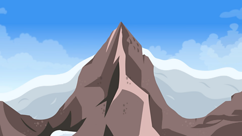
- pyramidal peak: one of the highest points in the area, often with a spot height or triangular pillar indicating its height.
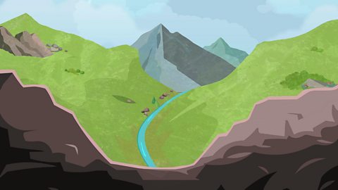
- u-shaped valley: areas of flat land with very steep land (close contour lines) on either side.
- truncated spur: bare rock symbol at one point along the side of a u-shaped valley.
Identifying corries on an OS map
To identify a corrie, you are looking for a horse-shoe shaped pattern of contour lines.
The steep back wall will often have the bare rock symbol and possibly scree trails.
The base of the corrie will be flatter and may have a corrie lochan or tarn.
Identifying arêtes on an OS map
To identify an arête, you are looking for a steep ridge, often featuring the bare rock symbol or a trail for hillwalkers.
Arêtes commonly form between two corries.
Identifying pyramidal peaks on an OS map
To identify a pyramidal peak, you are often looking for one of the highest points in the area, often with a spot height or triangular pillar indicating its height.
Pyramidal peaks commonly form where three or more corries meet.
Identifying u-shaped valleys on an OS map
To identify a u-shaped valley, you are looking for white areas with few contour lines showing the flat valley floor with tightly-packed contour lines showing the steep valley sides on either side.
Within the valley you will often find a misfit stream or a ribbon loch.
Identifying truncated spurs on an OS map

To identify a truncated spur, you are looking for a short section of bare rock symbol along the side of a u-shaped valley, showing the flattened nose of the truncated spur.
As the glacier cut off a previously interlocking spur, this harder rock was cut-off and left exposed on the valley side.
Truncates spurs may occur in groups, like The Three Sisters along the south side of the Pass of Glencoe, as shown in the map extract.
 Image source, Contains OS data © Crown copyright 2026
Recap
Features which you would be expected to identify on an OS map of glaciated upland areas are:
corrie: horse-shoe shaped pattern of contour lines. The steep back wall will often have the bare rock symbol and possibly scree trails. The base of the corrie will be flatter and may have a corrie lochan or tarn.
arête: a steep ridge, often featuring the bare rock symbol or a trail for hillwalkers. Arêtes commonly form between two corries.
pyramidal peak: one of the highest points in the area, often with a spot height or triangular pillar indicating its height. Pyramidal peaks commonly form where three or more corries meet.
u-shaped valley: areas of flat land with very steep land (close contour lines) on either side. Within the valley you will often find a misfit stream or a ribbon loch.
truncated spur: bare rock symbol at one point along the side of a u-shaped valley.
More on Glaciated upland landscapes
Find out more by working through a topic
- count1 of 6