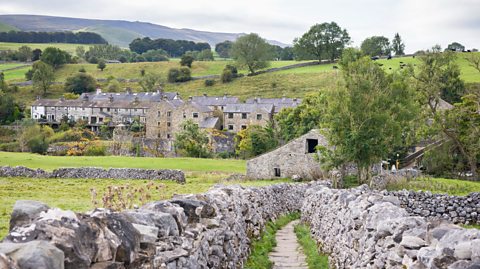
Quick version
Features which you would be expected to identify on an OS map of limestone areas are:
- limestone pavements: bare rock symbol will often look like slabs or clints, and located on flat land.
- potholes/swallow holes: circular or oval shaped markings, often named examples. Sometimes small blue lines indicating streams flowing into holes
- caves/caverns: often shown by word 'cave' or named example, located close to potholes/swallow holes.
- stalactites and stalagmites: cannot be seen on a map as they are underground, inside caves/caverns.
- intermittent drainage: short blue lines showing streams which flow for a short distance before disappearing.
Identifying limestone pavements on an OS map
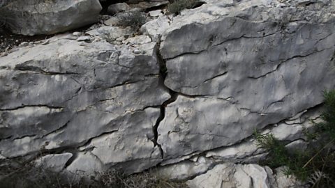
 Image source, richard baker / getty images
To identify a limestone pavement, you are looking for the bare rock symbol often found on flat land where the contour lines are far apart.
The bare rock symbol will often look like the slabs or clints of limestone found in a limestone pavement.
Image source, richard baker / getty images Image source, Contains OS data © Crown copyright 2026
Identifying potholes or swallow holes on an OS map
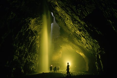
 Image source, OLI SCARFF / getty images
Potholes/swallow holes can be identified by circular or oval shaped markings on a map.
They often have the words Pot Hole or Pot Holes, or a named example like Gaping Gill shown on the map extract.
Sometimes there may be blue lines showing small streams that stop flowing when they reach the pothole/swallow hole.
Image source, OLI SCARFF / getty images Image source, Contains OS data © Crown copyright 2026
Identifying caves or caverns on an OS map
Caves/caverns are often shown on a map by the word Cave or a named example, like Long Churn Cave shown on the map extract.
Caves/caverns are often located close to potholes/swallow holes as these help to form this feature.
 Image source, Contains OS data © Crown copyright 2026
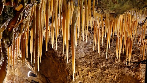
Stalactites and stalagmites

Stalactites and stalagmites are both found within caves/caverns.
As a result of this, these cannot be seen on a map as they are underground limestone features.
Identifying intermittent drainage on an OS map

Intermittent drainage is when a stream flows across the surface then disappears into the limestone as this is a permeable rock.
To identify this on a map, you are looking for short blue lines showing streams which flow for a short distance before disappearing, as shown on the map extract.
Sometimes these will flow into potholes/swallow holes but they often just stop on the map.
The blue line may start again a short distance away where it reemerges from underground.
 Image source, Contains OS data © Crown copyright 2026
Recap
Features which you would be expected to identify on an OS map of limestone areas are:
- Limestone pavements: bare rock symbol often found on flat land where the contour lines are far apart.
- Potholes/swallow holes: word pothole and circular or oval shaped markings.
- Caves/caverns: word cave or a named example, often near swallow holes.
- Intermittent drainage: short streams which flow for a short distance before disappearing.
More on Upland limestone landscapes
Find out more by working through a topic
- count1 of 6